Reading Different New England Landscapes
Pete Fletcher Workshop, 2008
All maps created using MassGIS DataViewer:
http://www.mass.gov/mgis/massgis.htm
Bradley Palmer State Park
http://maps.google.com/maps/ms?hl=en&ie=UTF8&msa=0&ll=42.655298,-70.921383&spn=0.055927,0.109863&z=13&msid=113798583893585652288.0004585d21a2a8c9ac51f
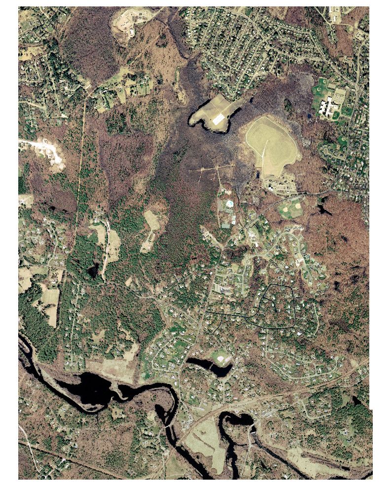
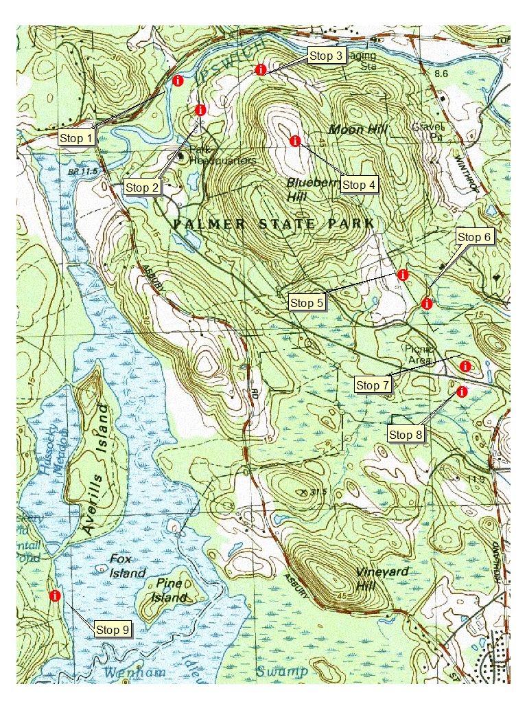
USGS Topographic Map 1:12,000 scale (with Stops)
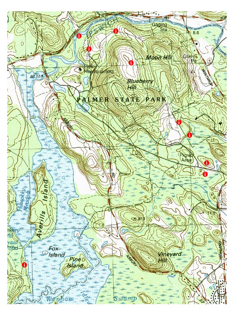
USGS Topographic Map 1:12,000 scale, with Field Stop Points
only
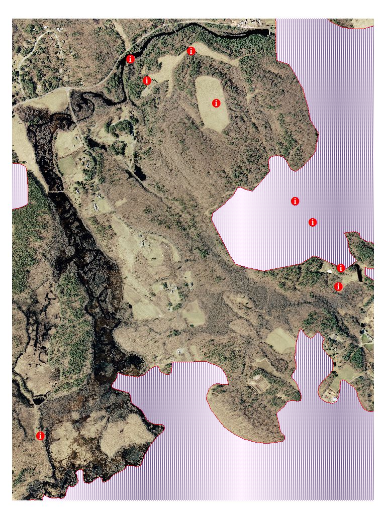
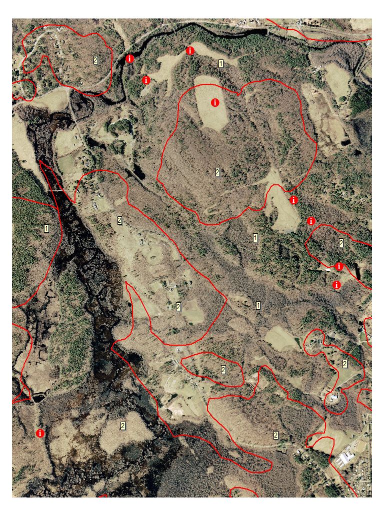
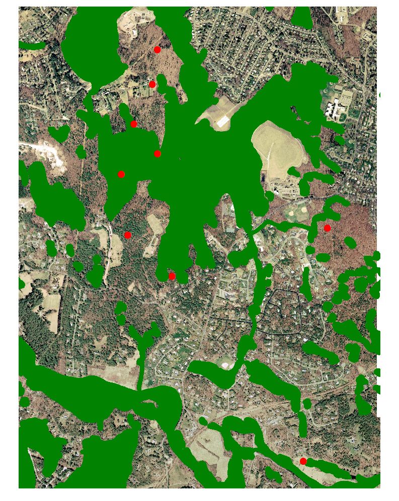
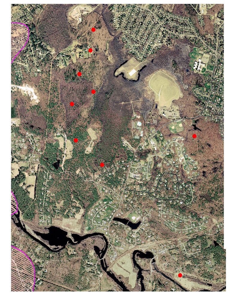
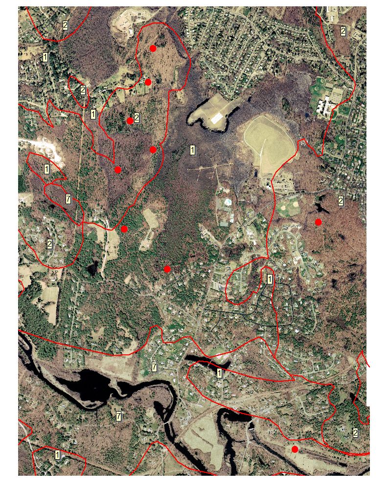
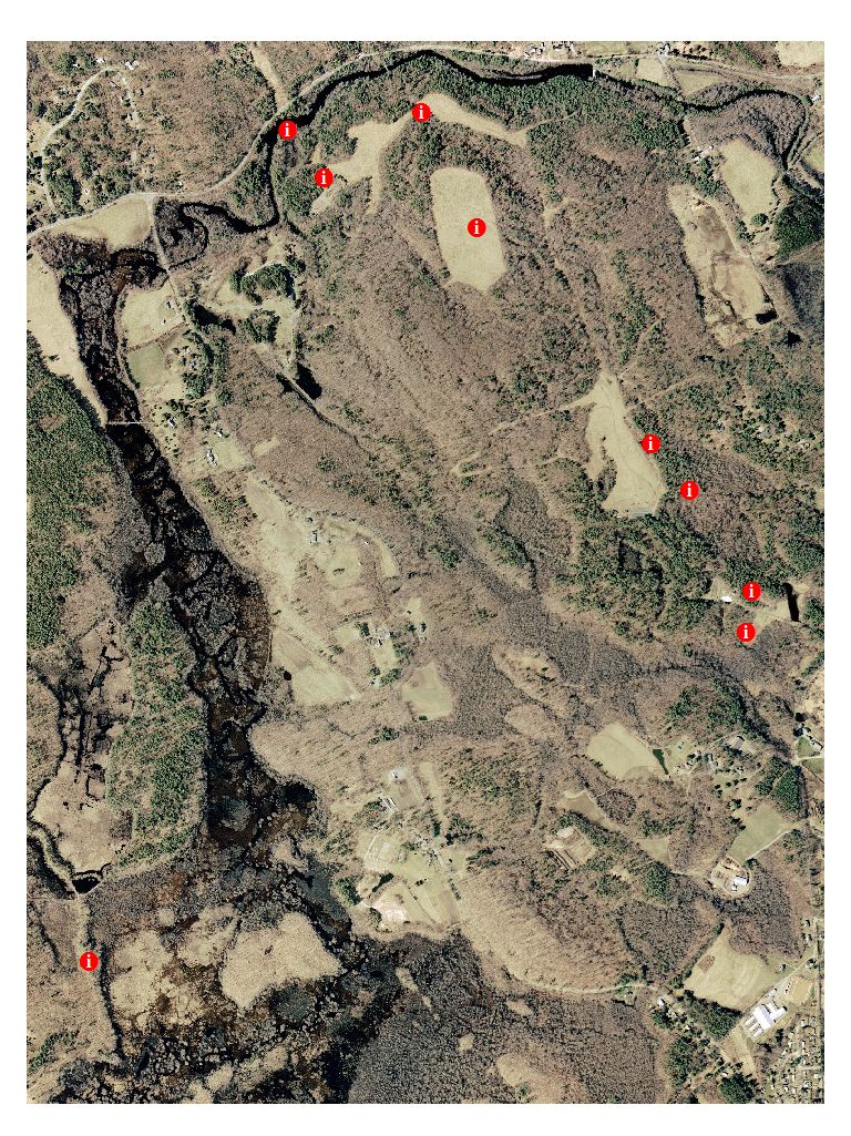
2001 Ortho photo 1:12,000 scale with field stops
2005 Ortho Image - check back
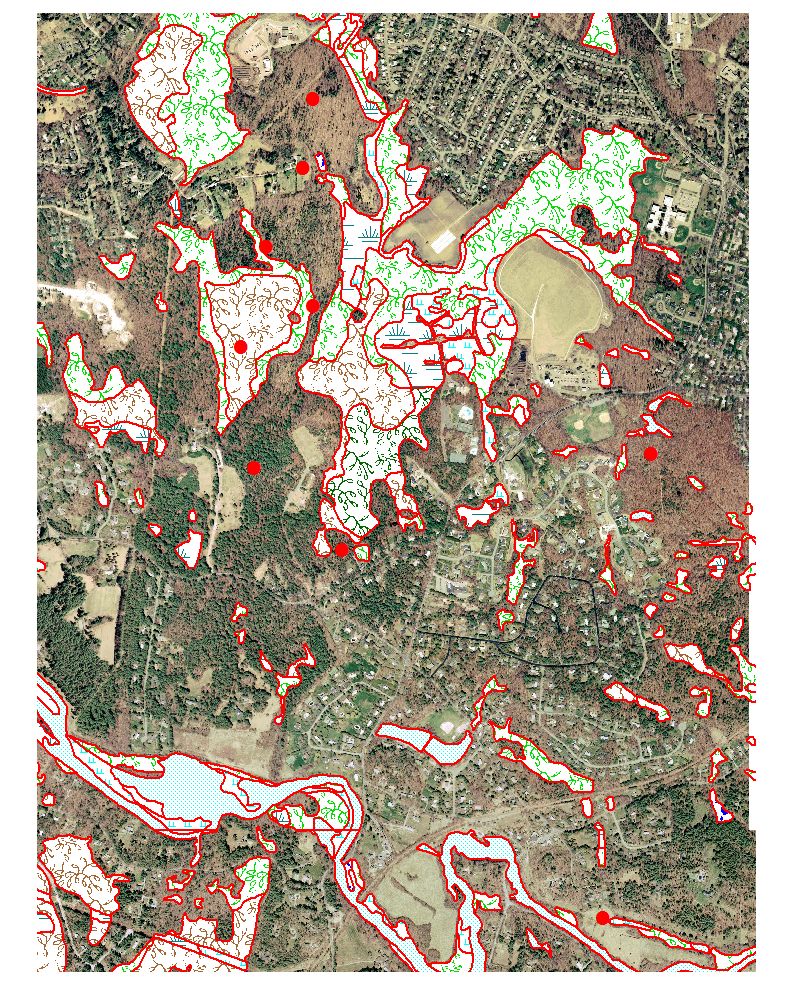
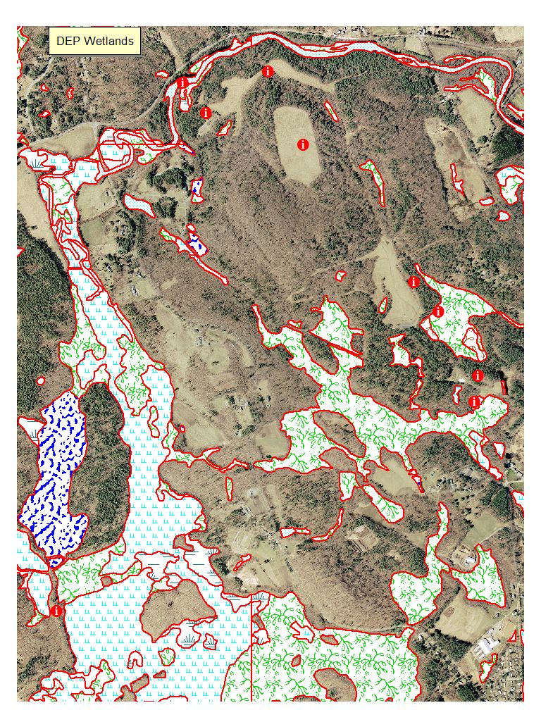
DEP Wetlands 1:12,000 scale
Map
Legend
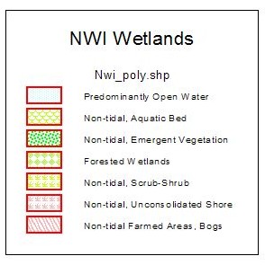
NWI Wetlands 1:12,000 scale
Map Legend
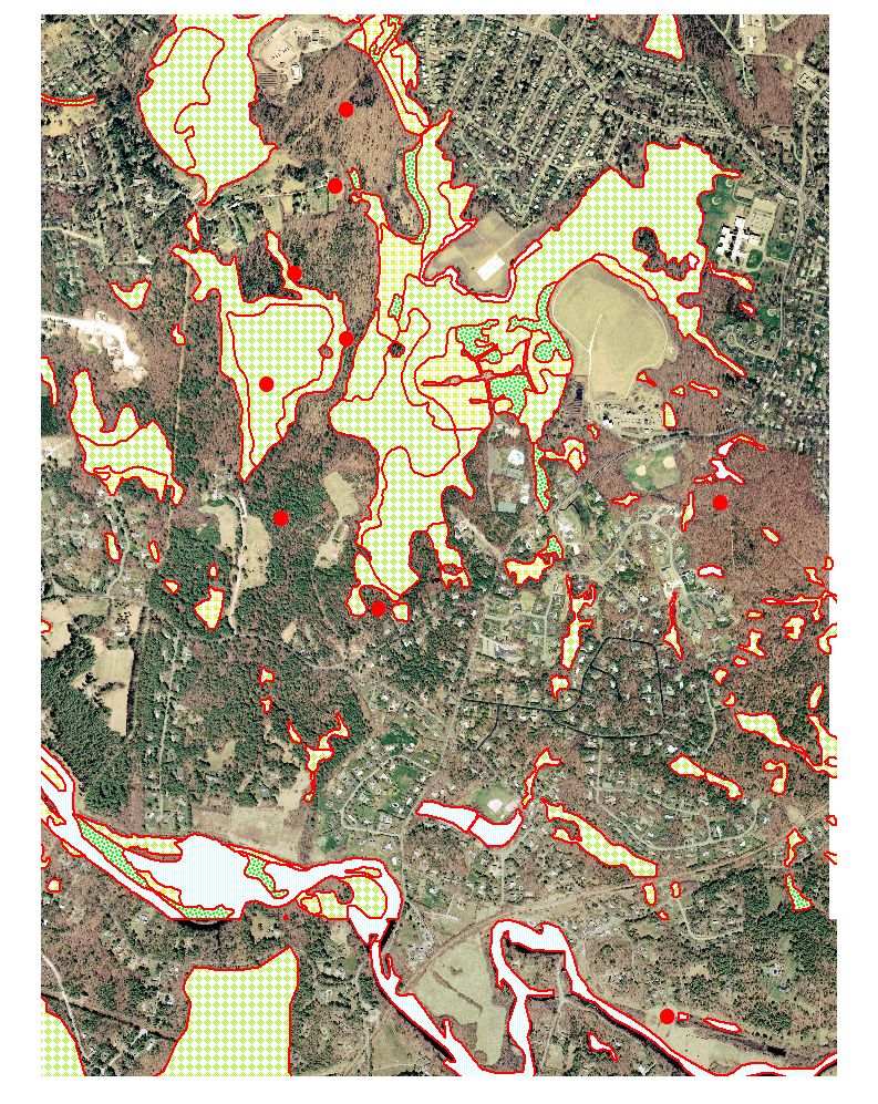
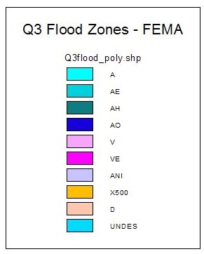
Q3 FEMA Flood Zones 1:12,000 scale
Map Legend
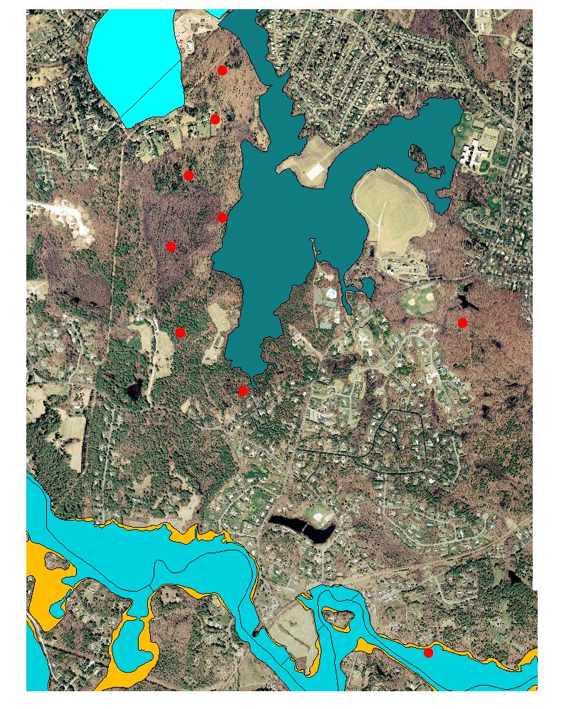
Title V setbacks 1:12,000 scale
Map legend
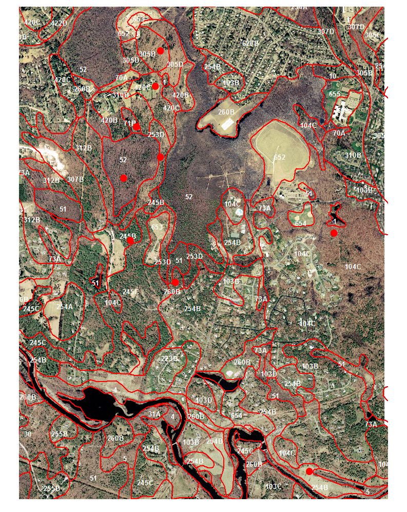
Soil Survey 1:12,000 (NOTE mapped at 1:25,000 scale)
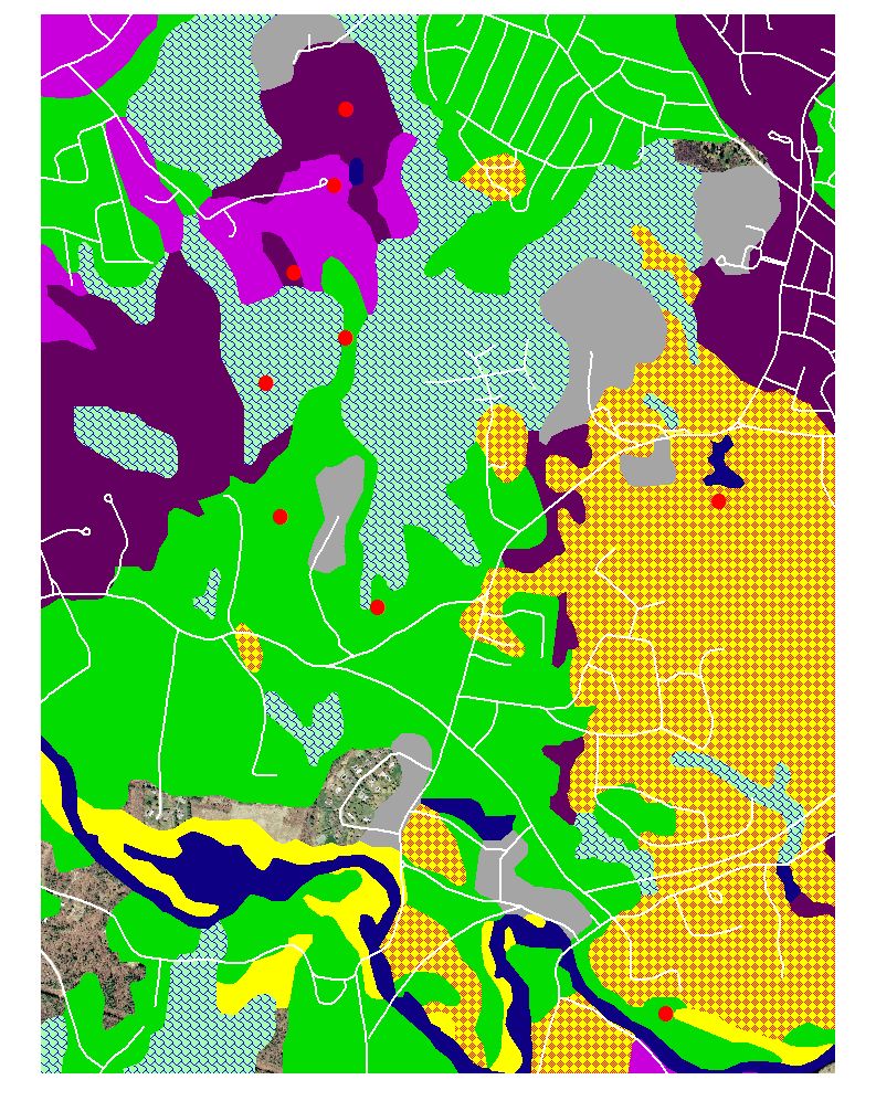
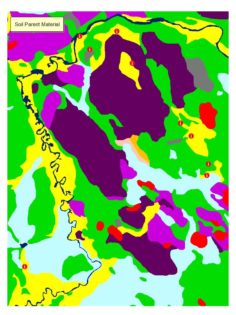
Soil Parent Materials
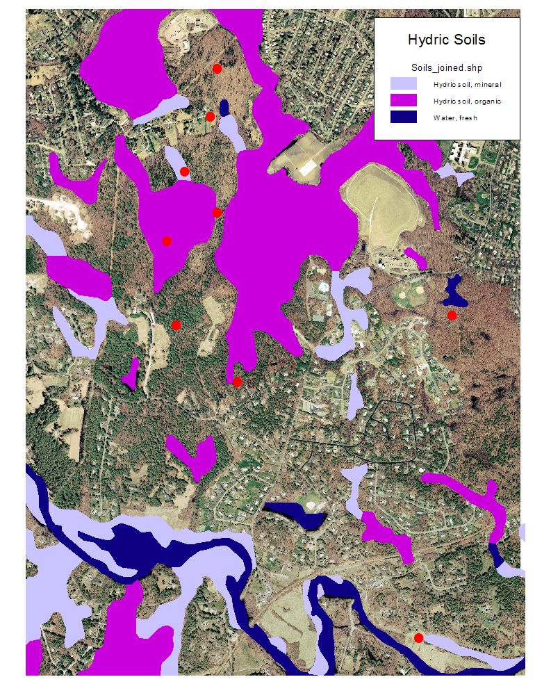
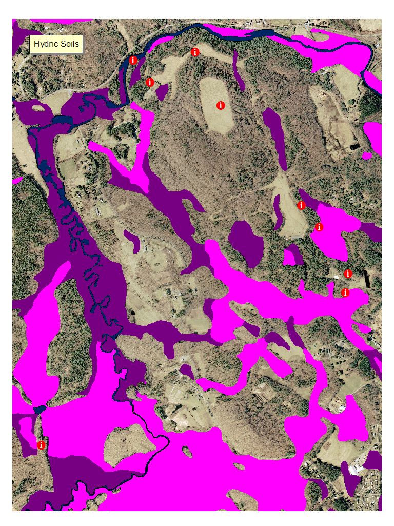
Hydric Soils
Hydric
Soil Legend
Soil Map Unit
Legend:
http://www.nesoil.com/norfolk/index.htm
Soil Data Mart Info:
http://soildatamart.nrcs.usda.gov/Survey.aspx?County=MA021
Web Soil
Survey:
http://websoilsurvey.nrcs.usda.gov/app/WebSoilSurvey.aspx
Zone 2 Maps
Map Legend
Surficial Geology 1:250,000 MapLegend:
1 - sand and gravel deposits
Needham - Ridge Hill Site (click for Map:
http://maps.google.com/maps?f=q&hl=en&geocode=&q=Ridge+Hill+Reservation+Needham,+MA&ie=UTF8&ll=42.276356,-71.27655&spn=0.02699,0.052872&t=h&z=14
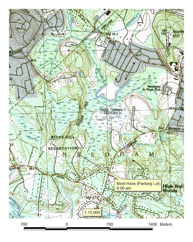
USGS Topographic Map 1:15,000 scale (with Parking Info)
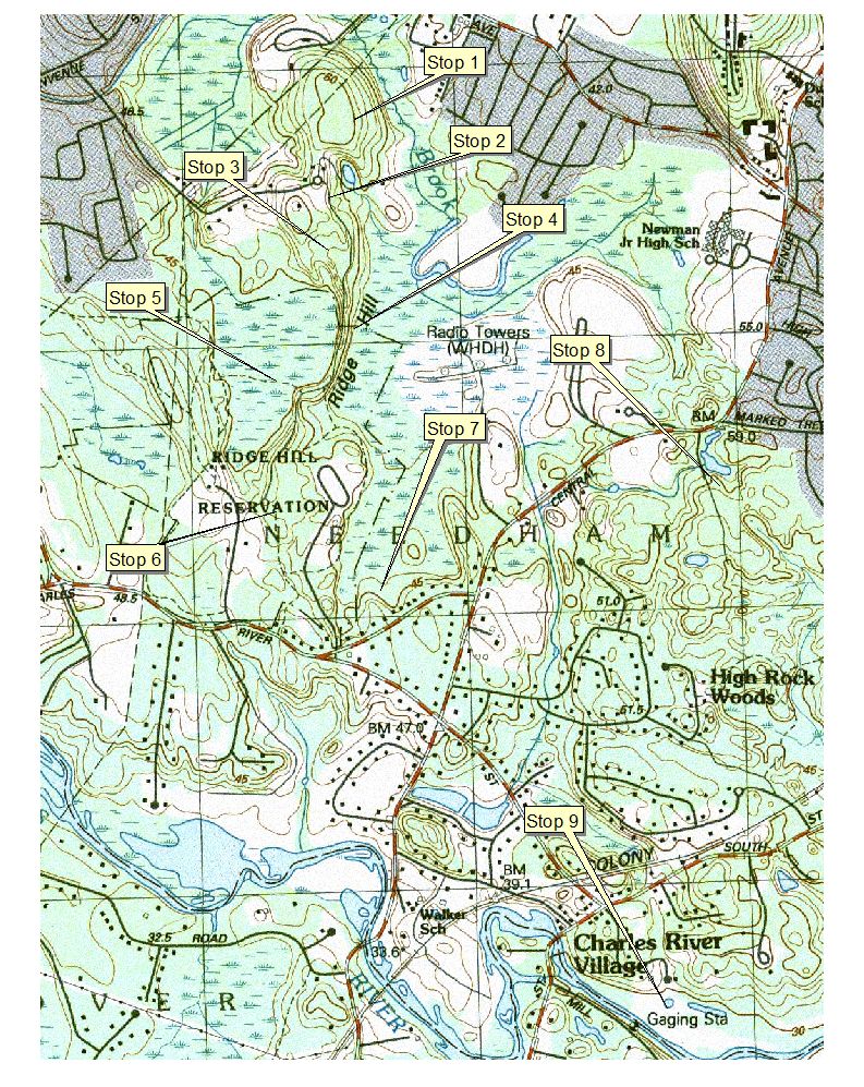
USGS Topographic Map 1:15,000 scale, with Field Stops
2001 Ortho photo 1:15,000 scale with field stops
Without Field Stops
2005 Ortho Image - check back
DEP Wetlands 1:15,000 scale
Map
Legend
NWI Wetlands 1:15,000 scale
Map Legend
Q3 FEMA Flood Zones 1:15,000 scale
Map Legend
Title V setbacks 1:15,000 scale
Map legend
Soil Survey 1:15,000 (NOTE mapped at 1:25,000 scale)
Soil Map Legend and selected Interps (14x8.5 landscape print)
Soil Parent Materials
Parent Material Legend
Hydric Soils
Soil Map Unit
Legend:
http://www.nesoil.com/norfolk/index.htm
Soil Data Mart Info:
http://soildatamart.nrcs.usda.gov/Survey.aspx?County=MA021
Web Soil
Survey:
http://websoilsurvey.nrcs.usda.gov/app/WebSoilSurvey.aspx
Zone 2 Maps
Map Legend
Surficial Geology 1:250,000 MapLegend:
1 - sand and gravel deposits
 Map
Legend
Map
Legend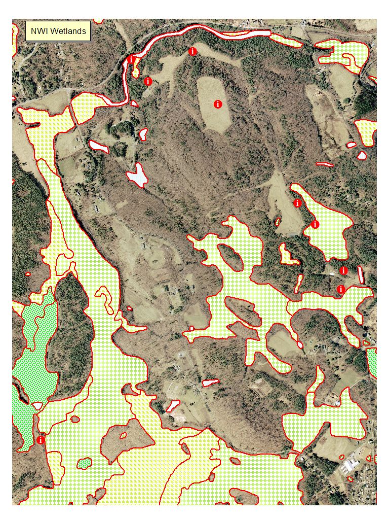
 Map Legend
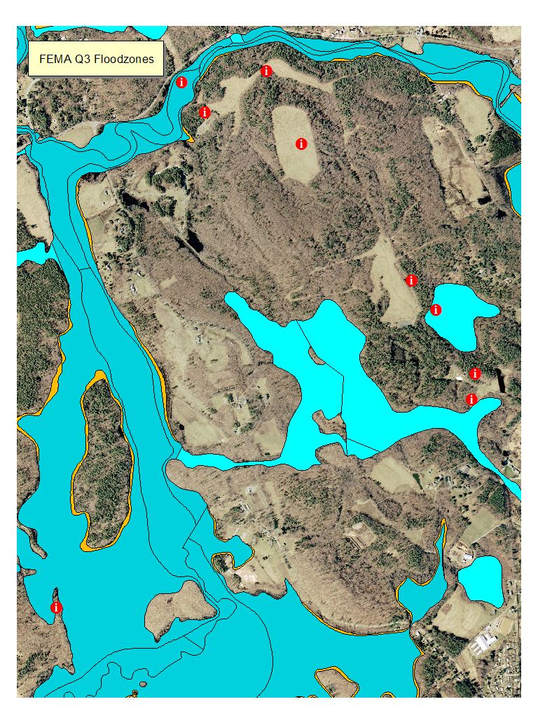
 Map Legend
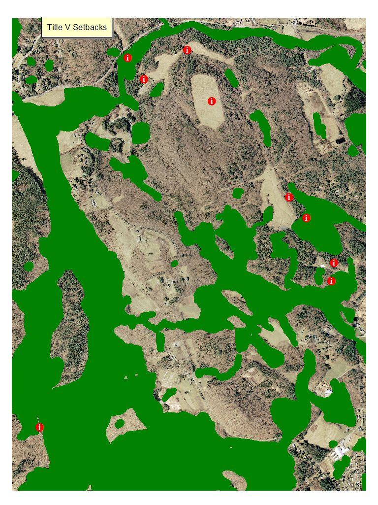
 Map legend
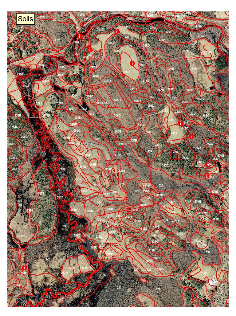
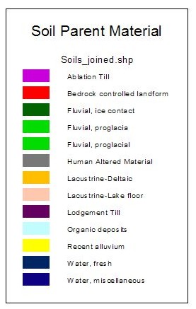 Parent Material Legend
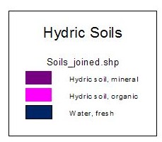 Hydric
Soil Legend
Hydric
Soil Legend