Map Link
Directions -
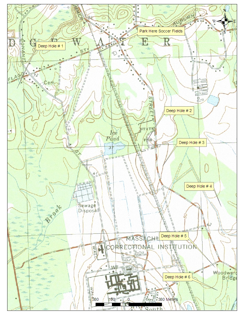
Overview Map
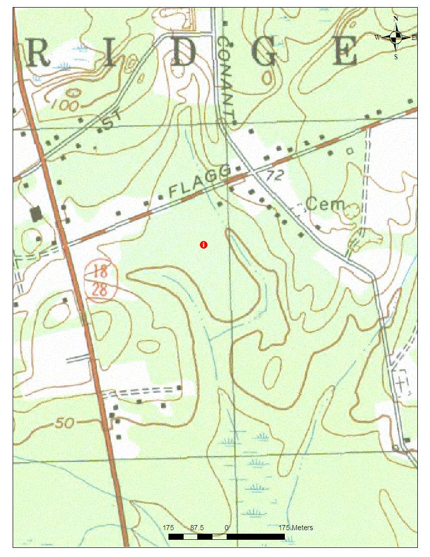
Test Pit 1 above 6K
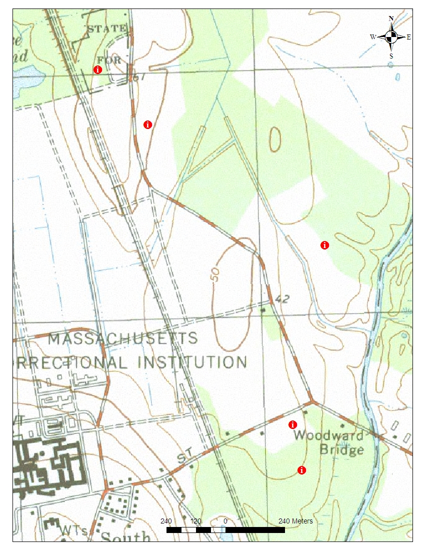
Test Pits 2-4 above 8K
http://www.mass.gov/mgis/im_quad.htm
Test Pit 1 above 6K
Test Pits 2-4 above 8K
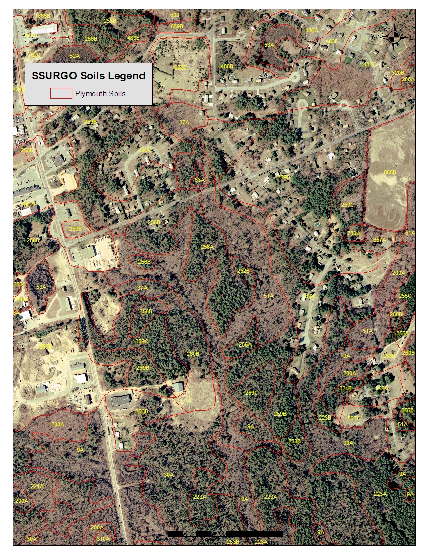
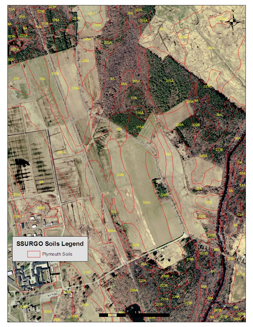
Map Unit Legend with links: http://casoilresource.lawr.ucdavis.edu/soil_web/ssurgo.php?action=list_mapunits&areasymbol=ma023
Map Unit Legend - PDF (http://soildatamart.nrcs.usda.gov/Report.aspx?Survey=MA023&UseState=MA)
View on Google Earth: http://casoilresource.lawr.ucdavis.edu/drupal/node/429
View Soil Maps on Google Maps: Soil Maps Google Maps
Test Pit 1 above 6K

Test Pits 2-4 above
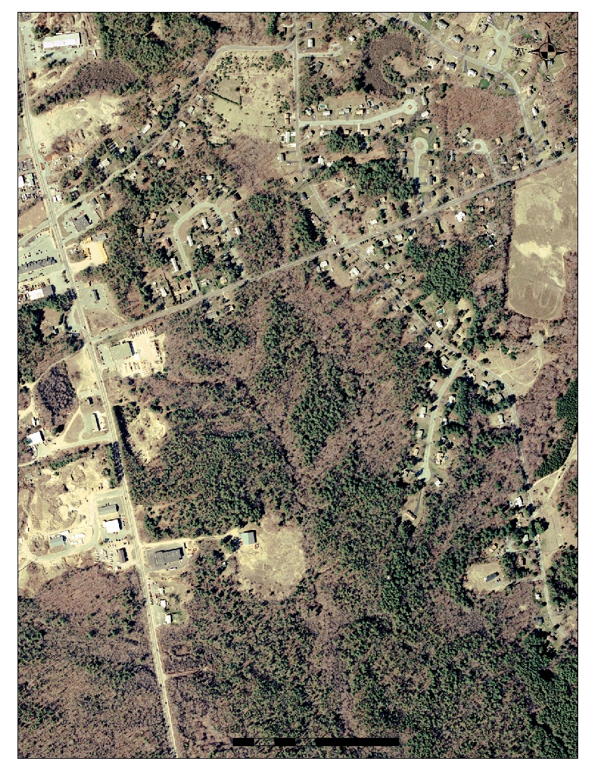
http://www.mass.gov/mgis/colororthos2001.htm
Test Pit 1 above 6K
Test Pits 2-4 above
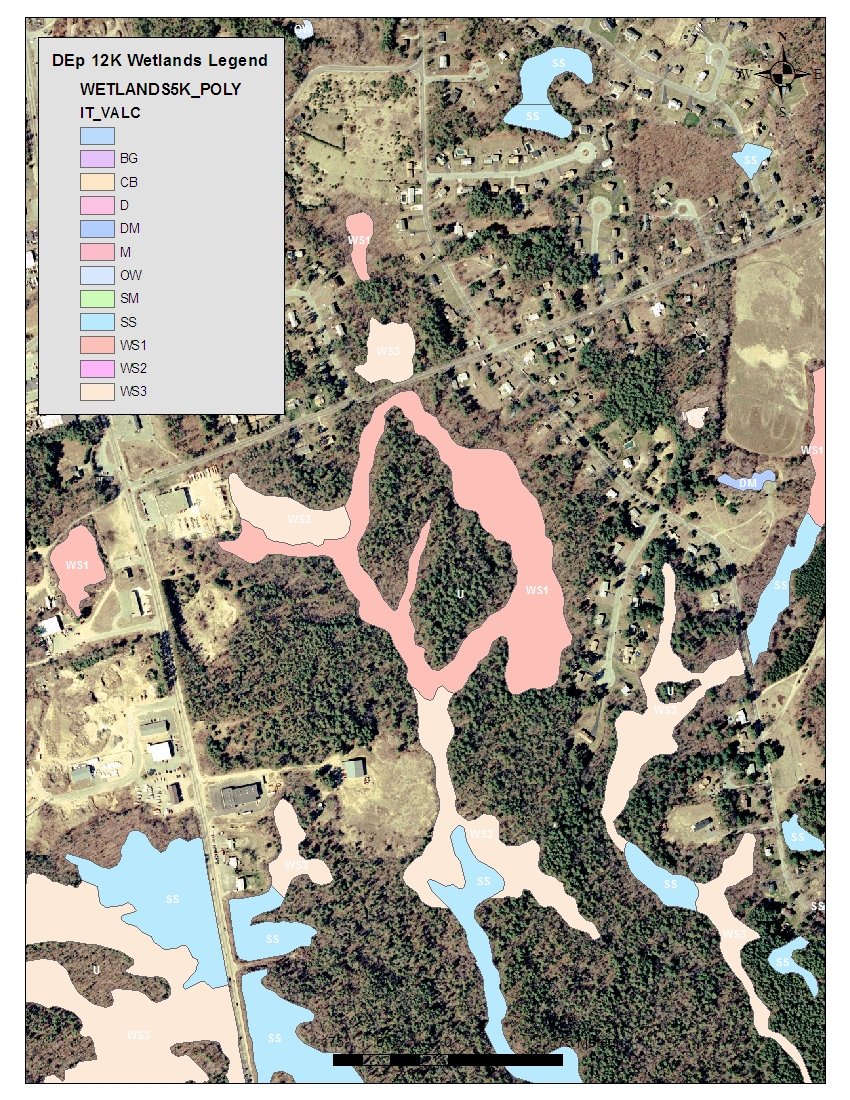
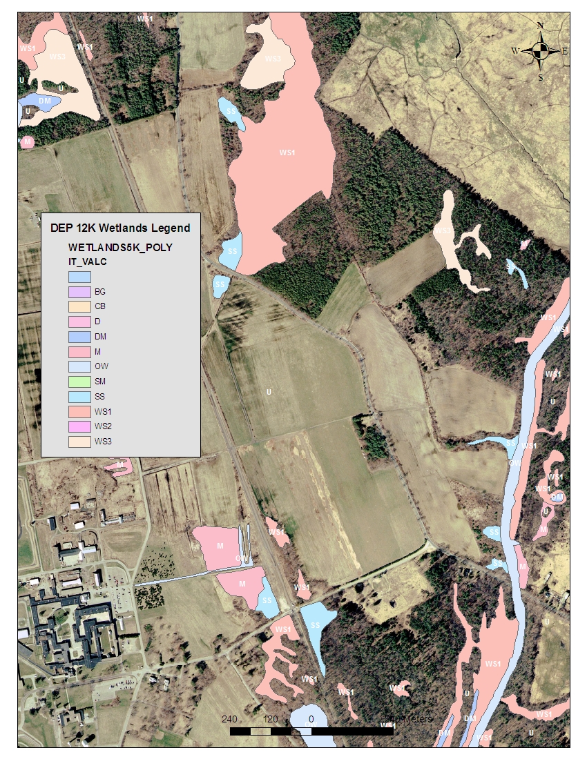
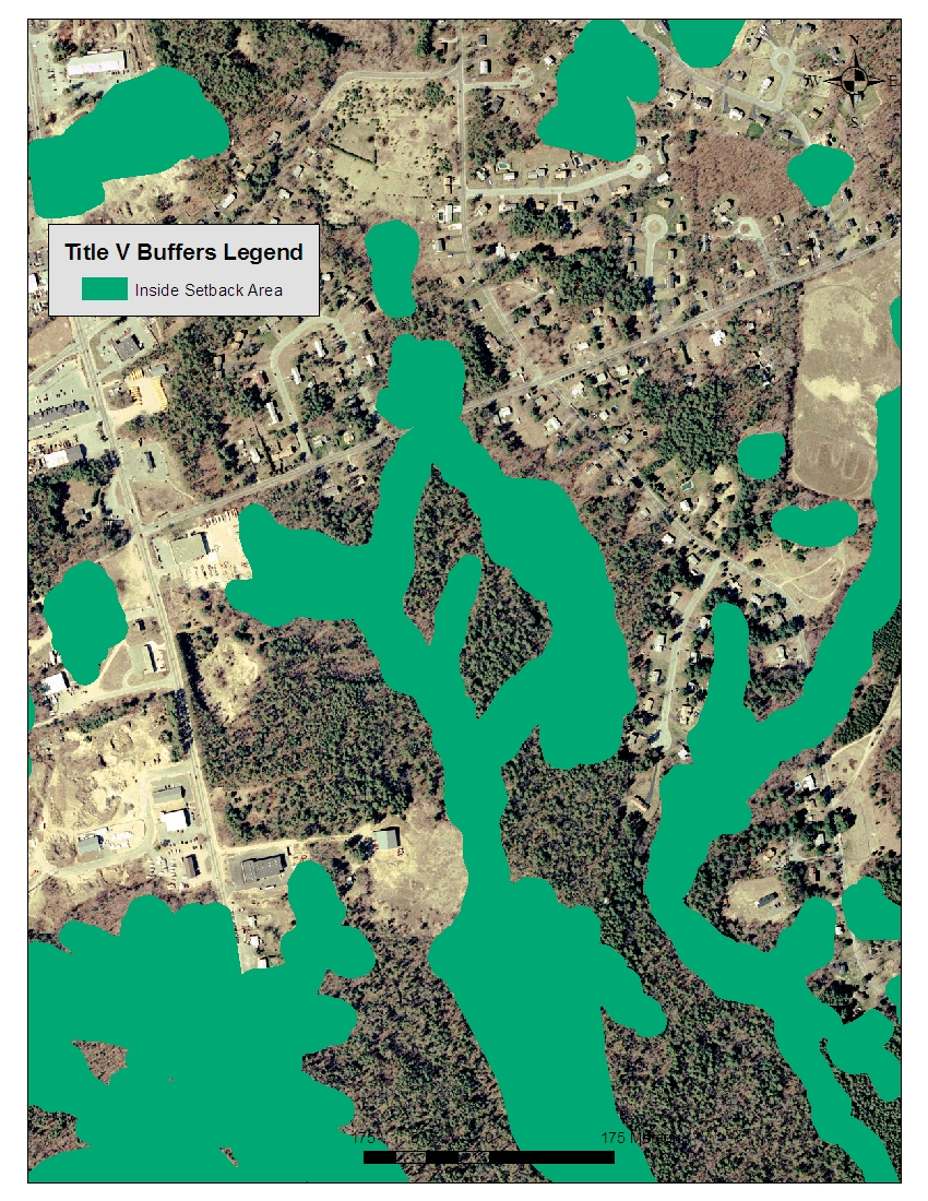
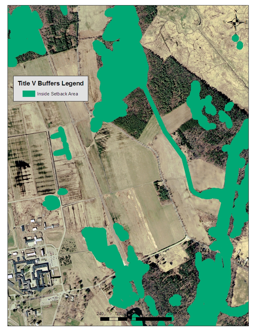
http://www.mass.gov/mgis/wetdep.htm
Test Pit 1 above 6K
Test Pits 2-4 above 8K
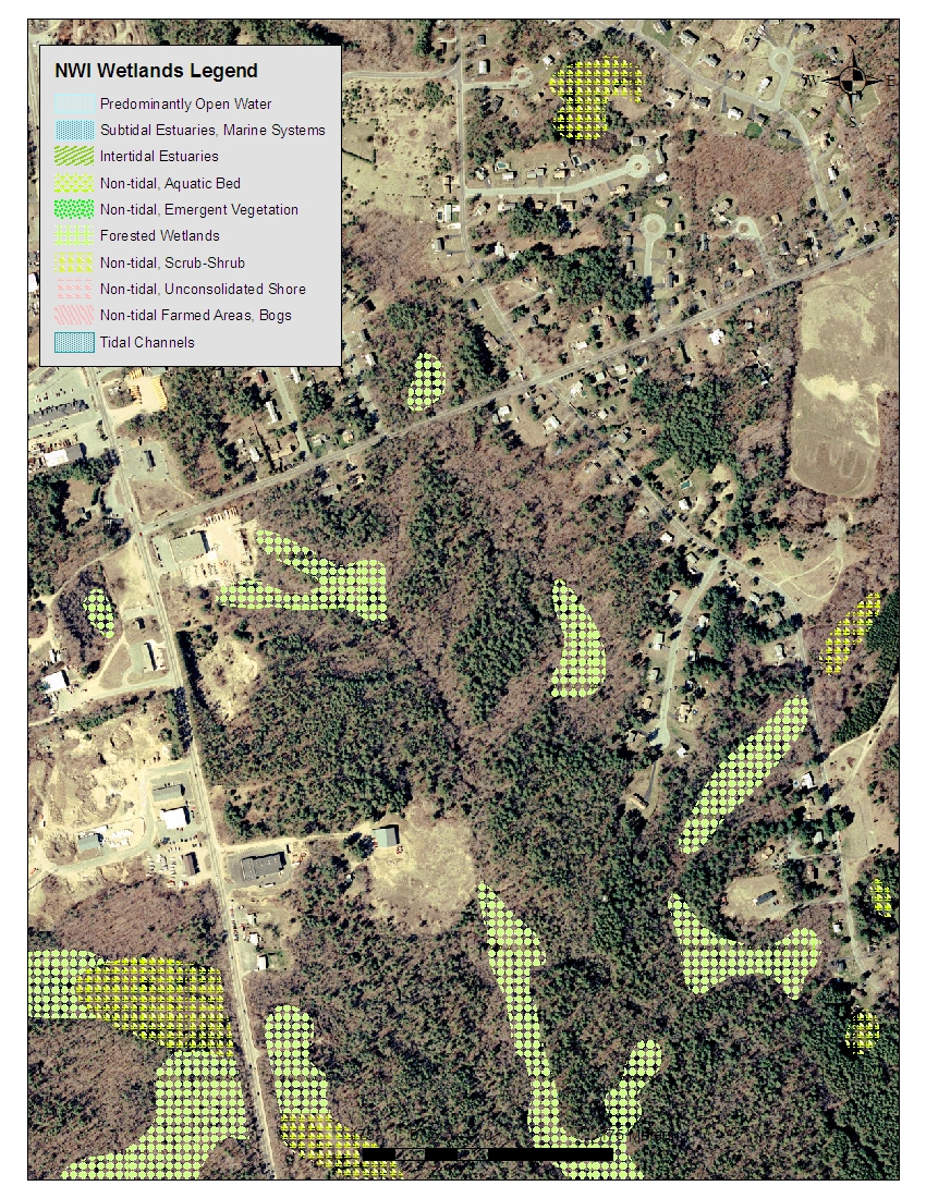
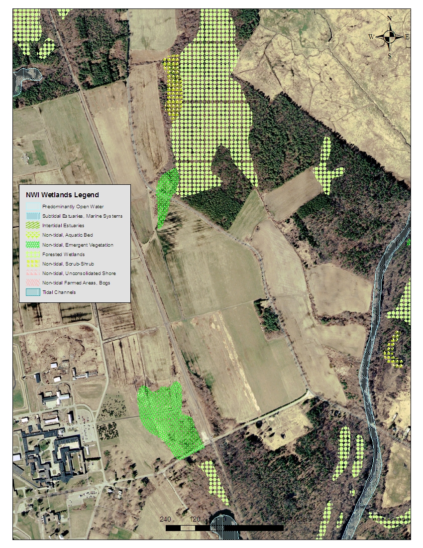
http://www.mass.gov/mgis/nwi.htm
Test Pit 1 above 6K
Test Pits 2-4 above 8K
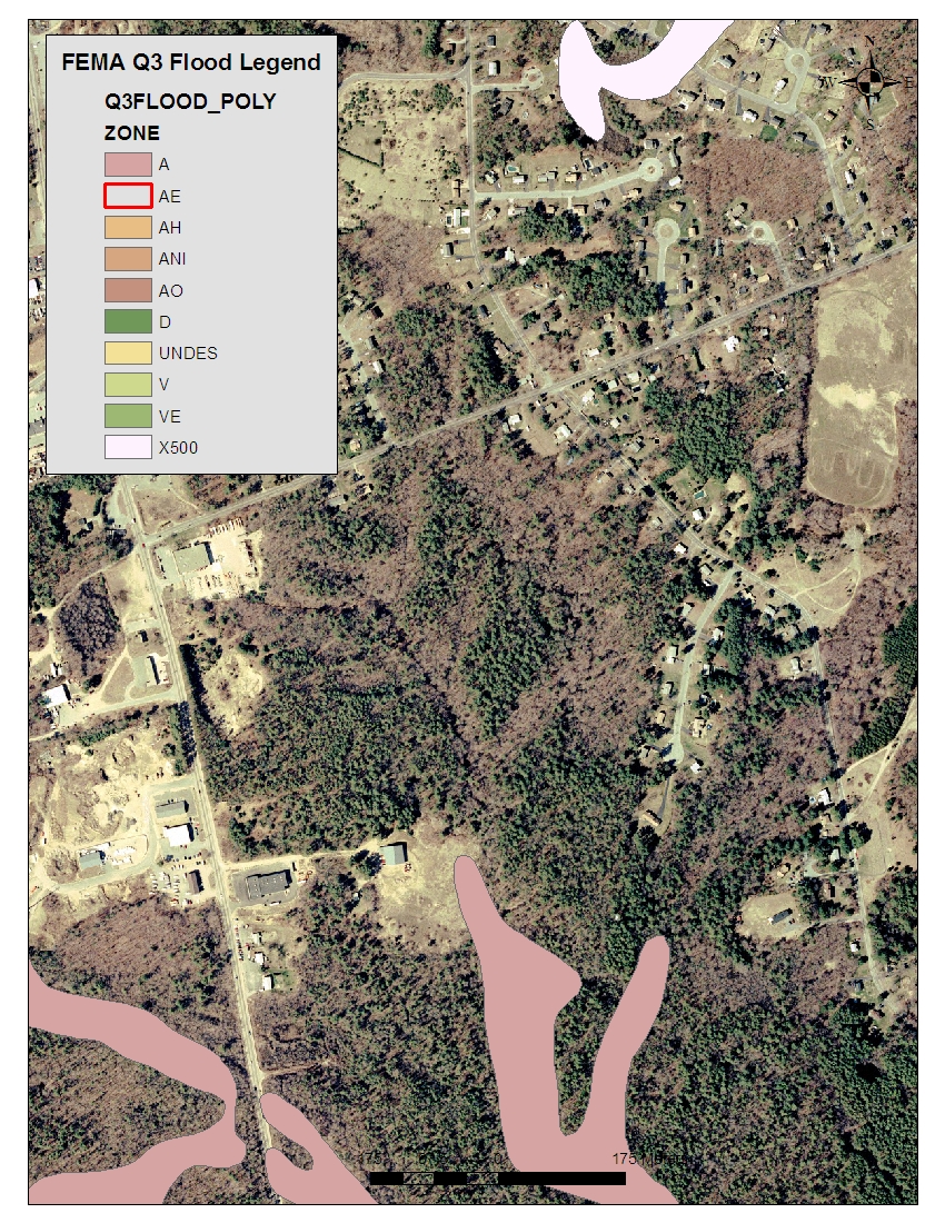
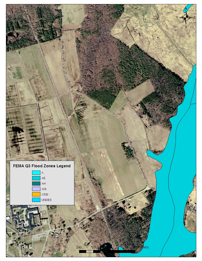
http://www.mass.gov/mgis/q3.htm
http://www.mass.gov/mgis/sg24k.htm
Test Pit 1 above 6K
Test Pits 2-4 above 8K