 |
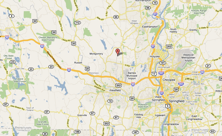
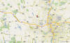
Directions - 146 Valley Road,
Southampton, MA.
http://maps.google.com/maps?f=q&source=s_q&hl=en&q=146+Valley+Rd,+Southampton,+Hampshire,+Massachusetts+01073&sll=41.700101,-71.416167&sspn=0.243008,0.477219&ie=UTF8&cd=1&geocode=FZjhgwIdngKq-w&split=0&hq=&hnear=146+Valley+Rd,+Southampton,+Hampshire,+Massachusetts+01073&ll=42.207286,-72.746658&spn=0.06027,0.119305&z=13 |
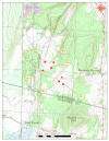 |
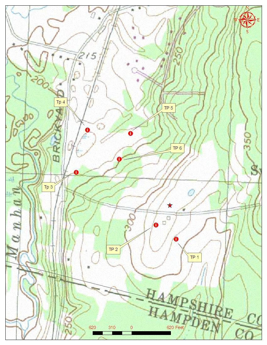
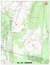
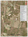
Overview Topo of Site - 1:21,000 scale
(print landscape) |
 |
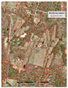
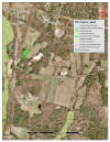
USGS Topo - detail of site 1:6,000
http://www.mass.gov/mgis/im_quad.htm
|
 |
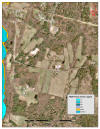
SSURGO Soils 1:6,000
Soil Map Unit Legend-
PDF
http://soildatamart.nrcs.usda.gov/Report.aspx?Survey=MA609&UseState=MA
|
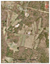 |
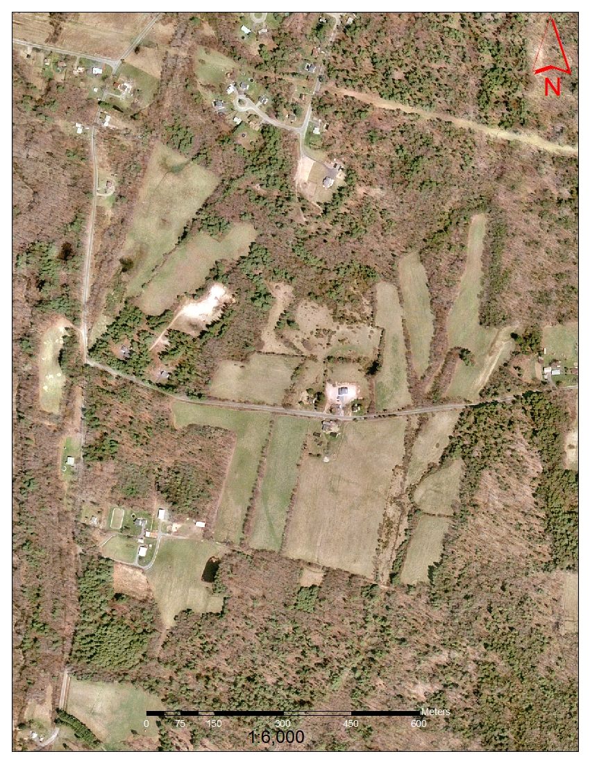
2001 Ortho photo 1:6,000
http://www.mass.gov/mgis/colororthos2001.htm
|
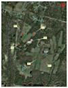 |
ESRI Ortho Photo 1:6,000
http://www.mass.gov/mgis/colororthos2008.htm
|
 |
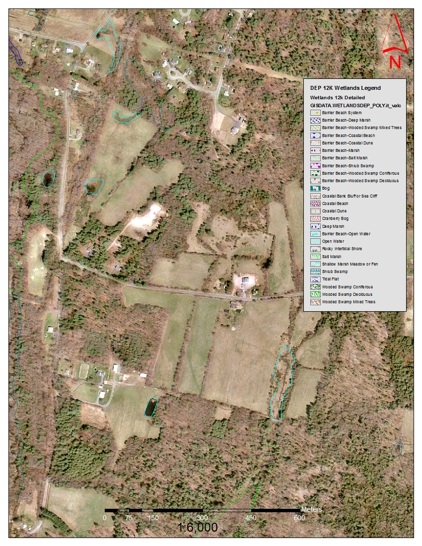
DEP Wetlands 1:6,000
http://www.mass.gov/mgis/wetdep.htm
|
 |
NWI Wetlands 1:6,000
http://www.mass.gov/mgis/nwi.htm
|
 |
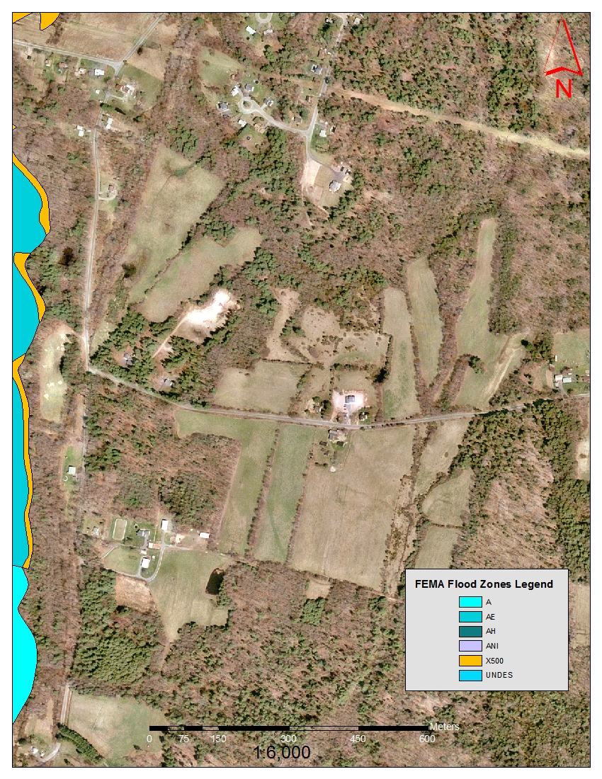
Q3 FEMA Flood Zones
http://www.mass.gov/mgis/q3.htm
|
|
Not Mapped |
Surficial Geology (1:6,000)
http://www.mass.gov/mgis/sg24k.htm
|
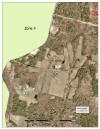 |
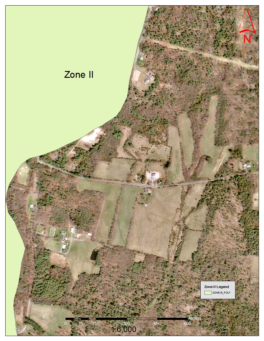
Zone II Wellhead Protection |
| |
|