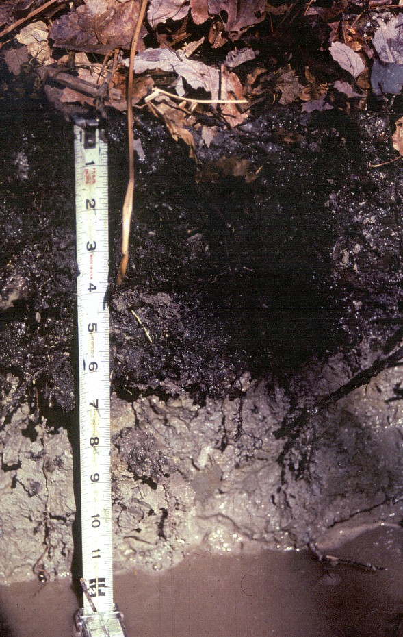
Pedon S07MA023002 (Click
HERE for Pedon Description and Laboratory Analysis)
Birdsall Soils: Very deep, nearly level, very poorly drained soil formed in water-laid deposits of silt and very fine sand. Birdsall soils are in low, flat-lying areas and broad depressions on glacial lake plains.
Taxonomic
Classification: Coarse - silty, mixed, nonacid, mesic, Typic
Humaquents.
Drainage
Class: Very poorly drained.
Parent
Material: Lacustrine silts and clays and waterlaid deposits
of fine and very fine sands.
Permeability:
Slow to very slow.
Available
Water Holding Capacity: High.
Soil
Reaction (pH): Very strongly acid to moderately acid in the
surface layer and strongly acid to neutral in the substratum.
Depth
to Bedrock: Greater than 65 inches.
Seasonal
High Watertable: Depth: +1.0 to 0.5 feet below the
surface.Type: Apparent/perched.
Months: October to June.
Hydrologic
Group: D.
Hydric
Soil: Yes.
Flooding/Ponding
Potential: Frequency and Type: Frequently ponded.Duration and Months: Brief to long, November to May.
Map unit 027 is periodically flooded throughout the year
for cranberry management practices.
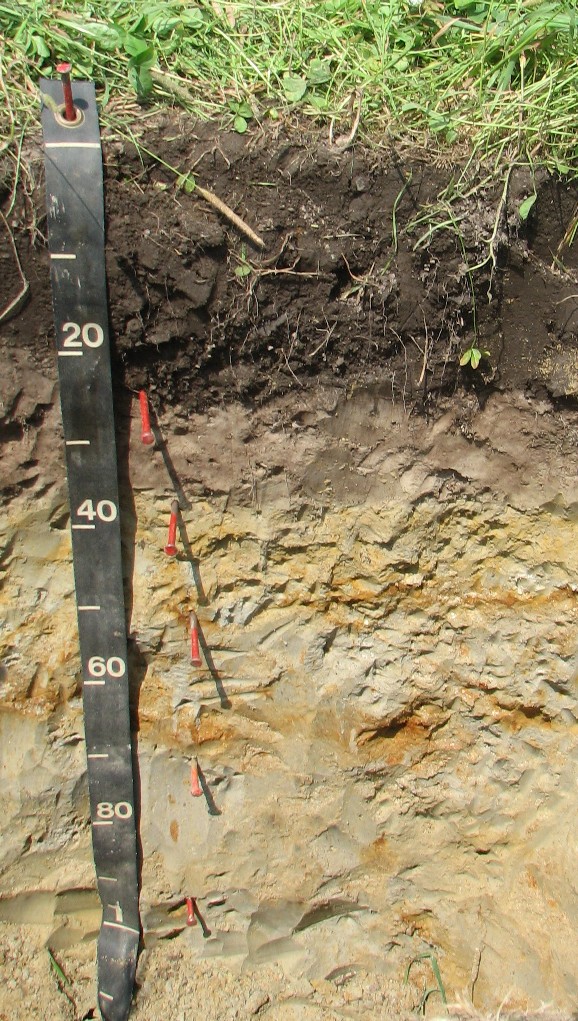
Potential
Inclusions: Very poorly drained Berryland and Scarboro soils
are similar soils. Poorly drained Raynham and Enosburg soils are
on higher elevations. Moderately well drained Scio and Eldridge
soils are on upland positions.
Soil Suitability:
Agriculture: Poorly suited for most agricultural uses mainly due to wetness. Map unit 027 is important farmland for cranberry production.
Woodland: Poorly suited due to wetness, severe tree-throw hazard.
Development: Poorly suited due to seasonal high watertables at or near the surface for prolong periods of time.