Ninigret Pond Subaqueous Soil Survey - Soil
Point Data
Subaqueous and Submerged
Soil Information Page - by Jim Turenne
More Information About
Ninigret Pond
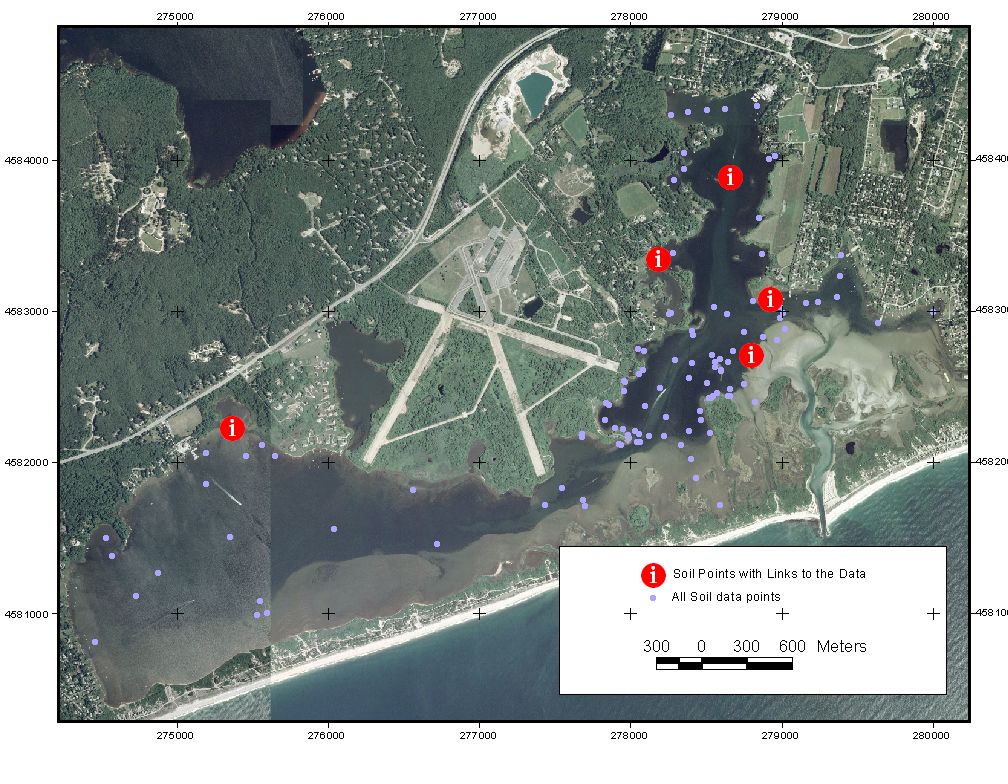
The map below shows the location of soil data points collected during the soil survey mapping of Ninigret Pond, Charleston RI. A total of 121 soil profile descriptions were recorded and the data has been entered into a pedon data base program. Soil data consists of physical descriptions (using standard USDA National Cooperative Soil Survey protocol), vibracore samples, and hammer core samples. Some of the data has been sampled for laboratory analysis and some analyzed using a core analyzer and XRF meter for heavy metal concentrations. All of this data will be made available once the soil mapping is completed.
To view examples of the soil data click on the large red buttons below.