Click Here to Watch the Presentation (6 MB Video File)
NBC 10 Watershed Watch Report, October 27, 2005: MapCoast Partnership
Please Visit http://www.turnto10.com/index.html
Special thanks to Chip Young, R.J. Heim and Channel 10, John King, Chip Heil, Brad Hubeny, Janet Freedman, Mike Bradley, and Mark Stolt.
Click Here to Watch the
Presentation (6 MB Video File)
Mapcoast website: http://www.mapcoast.org/ | Back to NeSOIL Subaqueous Soil Page | Back to Nesoil
Images from the MapCoast 2005 Field Work
Mike Bradley's Poster for the USDA Farm Bill Forum: http://www.edc.uri.edu/personal/mike/mapcoast.pdf
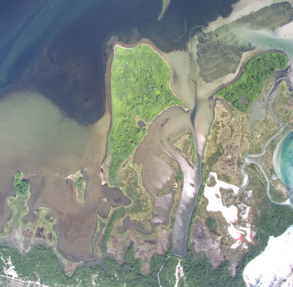 |
High-resolution imagery for all coastal ponds in southern
RI. was flown by EPA using a 15 mega pixel color camera. We are
currently working to mosaic and orthorectify the images and provide on the
web. Click Here to View on an IMS |
|
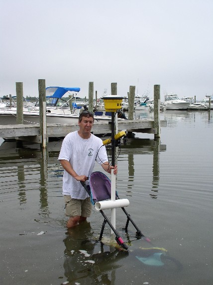
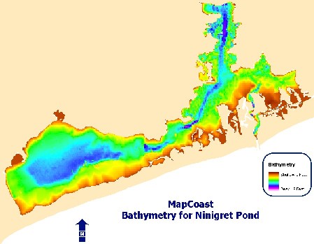
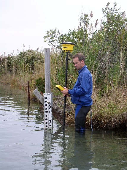
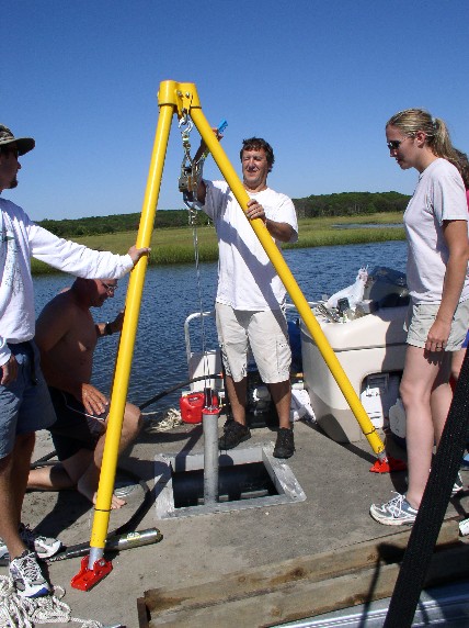
Bathymetry completed for Ninigret Pond, Wickford Harbor,
and sections of Greenwich Bay. The RTK was used to collect shallow points
and fathometer was used to re-survey in areas and Foster Cove. Bottom
photo shows the "Turenne Terrain" survey device which was used to collect
points in the flood tide delta of Ninigret. Data Link: http://www.ci.uri.edu/projects/mapcoast/data/default.htm
|
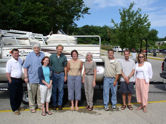 |
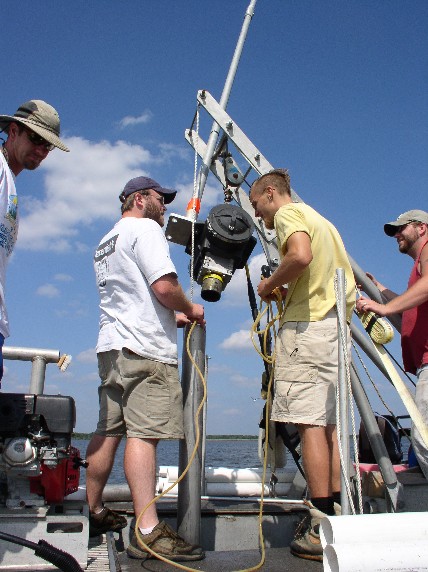
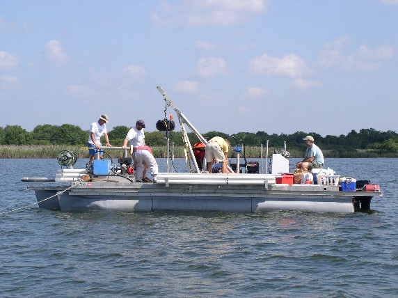
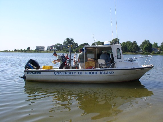
The RI NRCS purchased a pontoon boat and vibra core rig for coring in the shallow waters. The vessel was christened the R.V. Judith Doerner for our Steering Team leader who left RI to become the State Conservationist for VT. |
|
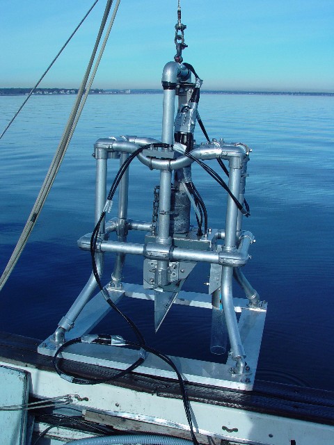
The GSO coring vessel equipped with a new Rossfelder Vibracore collecting cores in Ninigret. Bottom - close up of the Vibracore. |
|
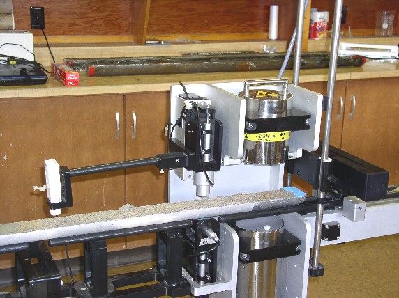
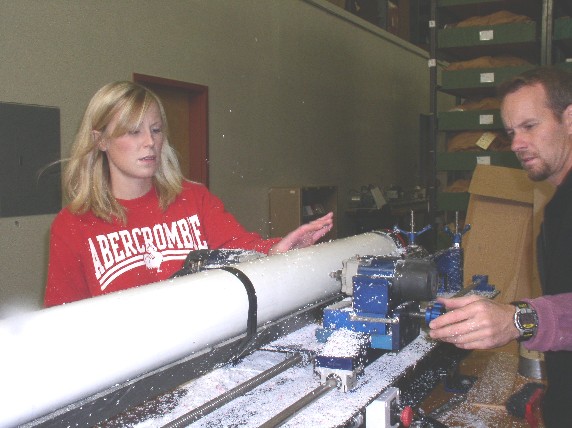
Top: Mike and Danielle splitting the cores and prepping
them for sampling and imaging.
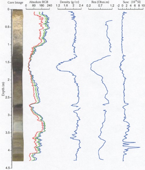
Middle: Cores being imaged with the GSO Geotech core analyzer. Bottom: Data from the Geotech. |
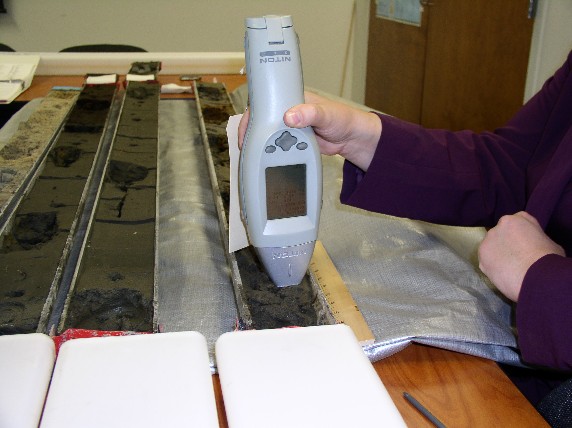 |
Heavy metal analysis using a Niton XRF meter. |
 |
The R.V. Judith getting core samples from Little Narragansett Bay with the CT. NRCS staff. |
|
Jon Boothroyd and Bryan Oakley onboard the Gilbert in Greenwich Bay using multibeam to collect 3D bathymetry, the RTK was used to correct for tide. |
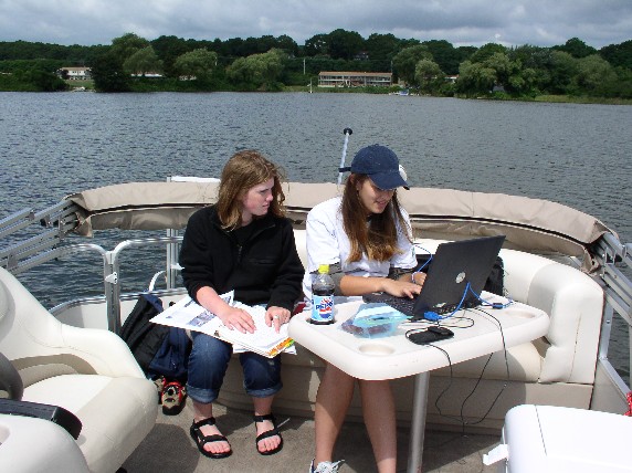 |
Interns from the wining Envirothon team Jessie Dyer and Laura entering site data into a laptop in Foster Cove. |
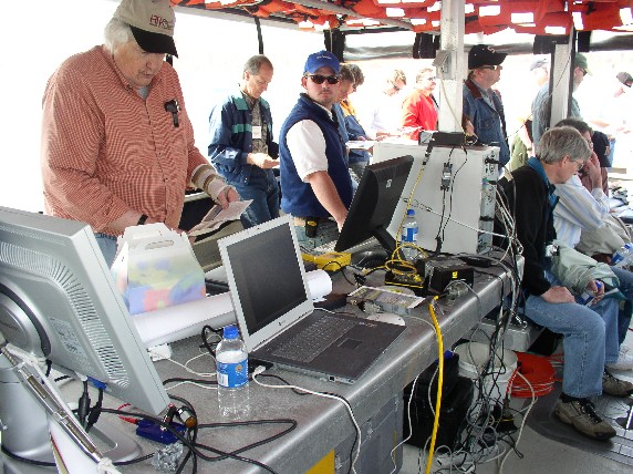 |
Jon Boothroyd and Bryan Oakley providing a demonstration of side scan sonar for NRCS employees during the technology training session in April. |
|
Sediment Profiling Image Camera and an example of the image
below (Oxidized surface). SAIC provided 70 images from Ninigret Pond. http://www.ci.uri.edu/projects/mapcoast/data/default.htm
|